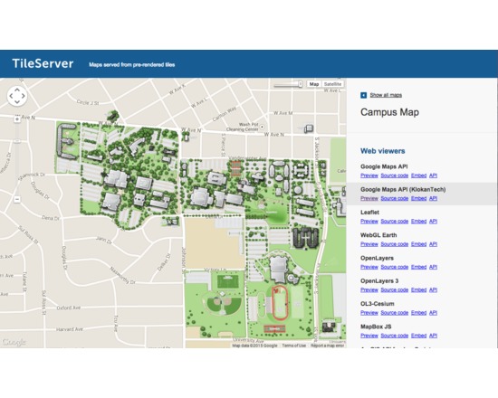
MapTiler
MapTiler allows efficient and fast multi-core paralellized rendering of raster geodata (TIFF/GeoTIFF, MrSID, ECW, JPEG2000, Erdas HFA, NOAA BSB/KAP, Ozi Explorer OZF2/OZFx3, JPEG, GIF, PNG and more…) into map tiles suitable for Google Maps API mashups (OpenStreetMap, Microsoft Bing, MapQuest, MapBox, Google Earth; MBTiles format is supported), native mobile applications (iPhone/iPad/Android) with Apple MapKit, RouteMe or OSMDroid.
It automatically produces large seamless maps from several input files (MapTiler Pro) and directly optimizes the produced tiles for minimal filesize which allows extremely fast distribution of maps from any ordinary webserver or from a cloud CDN (Rackspace Cloud Files, Apache, PHP, Linux, DropBox, Google Drive, Amazon S3/CloudFront, Google Cloud Storage).
Interaction with the software and tips are available in Youtube tutorials at:https://www.youtube.com/playlist?list=PLGHe6Moaz52PiQd1mO-S9QrCjqSn1v-ay
- Type of license: Closed Source
- Web Usable: Other
Comments