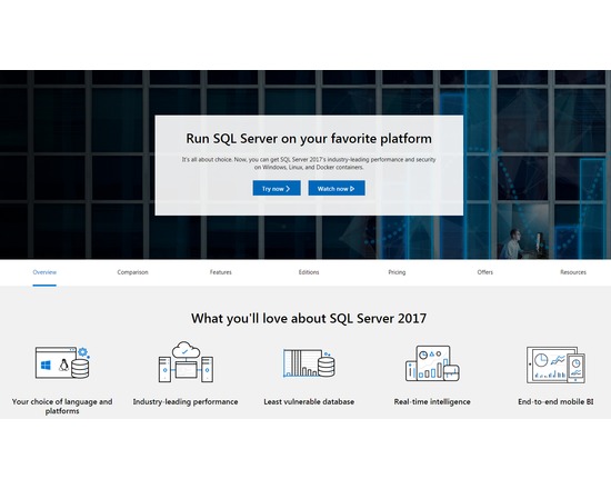
A server-side software application that enables databases conformant to a relational data model to be created, managed and queried. Information, most commonly text may be stored as one or more records contained within a table. The table may exist in isolation or have some relationship to other tables. Information may be manipulated using a set of T-SQL or ANSI SQL commands. Several editions of SQL Server 2014 are available, including SQL Server Business Intelligence, Developer, Enterprise, Express, Standard and Web. Features: Service Broker Replication Services using transaction, merge, or snapshot replication Analysis functionality to perform data mining, OLAP and other services Report generation services Enterprise scalability across compute, networking, and storage Consistent data platform on-premises to cloud Easy integration with Microsoft Azure
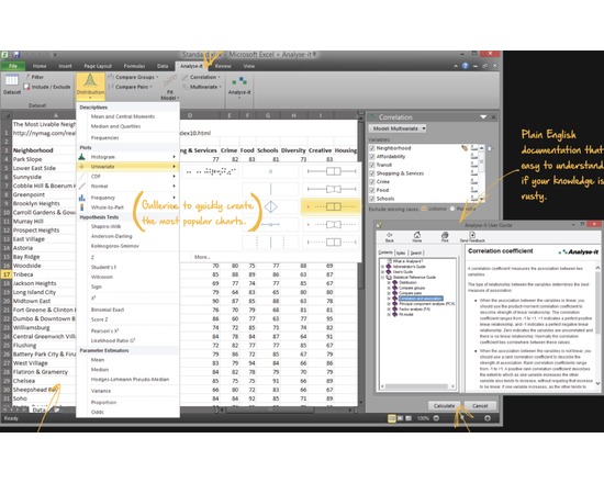
A set of dataset management and statistical plugins which is only available for Microsoft Windows including single and multiple linear regression, polynomial regression, and scatter plot with fit, fit confidence and prediction bands. The program can be used to generate visualizations and data reports. Requires Microsoft Excel.
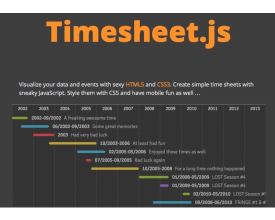
Timesheet.js is a javascript library to construct and display simple timelines. There are no external dependencies, no jQuery is needed and no Angular.JS. Timelines are rendered within your browser but do not offer the advanced interaction of products such as Timeline.js or SIMILE Timeline/Exhibit.
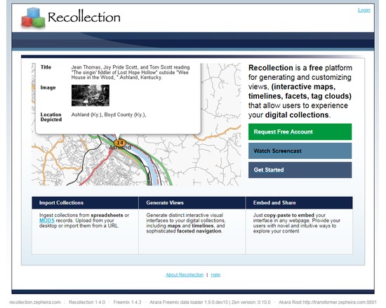
Recollection was a platform developed by Zepheira for the Library of Congress National Digital Information Infrastructure and Preservation Program (NDIIPP), allowing users to create and share embeddable interfaces to digital cultural heritage collections. The Library of Congress released its latest version of Recollection as Viewshare, built to increase the ease of finding, using, and sharing the project's software. Recollection incorporates a series of web-based open standards and open source tools, including RDF, Simile Exhibit, Akara, and Django. Recollection is no longer supported.
The FAIMS Mobile Platform (http://www.fedarch.org) is an open source, generalised system for digital data collection on Android. It works offline and helps record free text, multimedia, structured or spatial data with ample opportunity for the capture of metadata and certainty components of the captured data. It needs to be customised (via an xml definition document) for particular field/lab workflows. As a server-client system it facilitates simultaneous operation by multiple users. It’s great for large teams operating in degraded network, or entirely offline, who need to generate consistent and complete digital datasets.
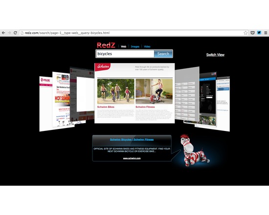
RedZ is a 3D search engine that displays its results in the form of web page snapshots. The user may navigate through these relatively large snapshots, which are displayed in a Cover Flow layout.
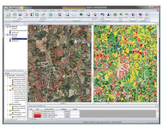
ERDAS Imagine is a suite of geospatial data authoring software. The suite contains a raster graphics editor and remote sensing application that performs advanced remote sensing analysis and spatial modelling to create new information. ERDAS IMAGINE can also visualize results in 2D, 3D, video, and on cartographic quality map compositions. It is primarily designed for geospatial raster data processing and the creation of digital images for mapping use in GIS or CAD software. Features: Image Analysis, Remote Sensing Parallel Batch Processing Spatial Modeling High Performance Mosaicking Engine in IMAGINE Advantage Expanded Change Detection Tools (with Zonal Change Detection) ERDAS ER Mapper Algorithms Converts over 190 Image Formats to all Major File Formats, including GeoTIFF, NITF, CADRG, JPEG, JPEG2000, ECW and MrSID Implements Comprehensive OGC Web Processing Service (WPS), Web Coverage Service (WCS), Web Mapping Service (WMS) and Catalog Services for the Web (CS-W)
A global geographical database that may be used to identify and tag all references to location. The database contains over 8 million entries, each of which possesses a geographic name (in various languages), latitude, longitude, elevation, population, administrative subdivision and postal codes and information on unique features. Features: Built upon web service, enabling transparent look-up and use of content through third-party tools and sites Browse by geographic location, country name, size of geographic region and other categories. Full text search support Extensible, enabling users to expand existing information or contribute new content Support for the World Geodetic System 1984 (WGS84) co-ordinate system
RivEX is a GIS tool designed to process vector river networks. It enables the user to undertake a range of tasks associated with the spatial analysis of river networks, including checking the network for topological errors, converting a network to a measured network and generating regular or random sampling points across the network. RivEX is an ESRI AddIn and has been developed to run on ArcGIS 10.2.1. It is not compatible with earlier versions of ArcGIS. There is a cost associated with the software, though this has been discounted for academic use. If you purchase this tool, you will receive all future upgrades free of charge for the current major release.