Textual Geography Analyzer
- Last Updated: 10/26/2017 12:00:00 AM
- Site: https://github.com/wilkens/edinburgh-masterclass/blob/master/Notebooks/02%20Textual%20Geography.ipynb
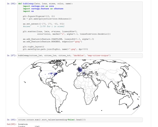
Parses text tagged by the Stanford named entity recognizer in order to collect and analyze mentions of locations. Also incorporates the Google API in order to geocode those locations and, ultimately, mark them on a map.
This code was written in an IPython Notebook, so the code below is actually a collection of scattered code snippets. Please see the repository on github for full details and documentation, or the Methods Common recipe ( http://methodi.ca/recipes/mapping-locations-corpus ) for a step-by-step guide.
NOTE: Users will be required to acquire their own Google API key, store it in a text file, and then point the code to that text file. Instructions can be found in the IPython Notebook itself. Search for "api_key_file" to find the line in code that needs to be changed.
Documentation
Attributes
- Type of analysis: Visualization Analysis Content Analysis
- Ease of Use: Moderate
- Link to Recipe: http://methodi.ca/
- TaDiRAH Goals: Analysis
- TaDiRAH Methods: Content Analysis Visualization
List this tool appear on
Rating
Comments
Note: There is a Recipe on Mapping Locations in the Methods Commons that uses this code.