
Analysis
Matlab
MATLAB allows matrix manipulations, plotting of functions and data, implementation of algorithms, creation of user interfaces, and interfacing with programs written in other languages, including C, C++, Java, and Fortran.
Analysis
MATLAB allows matrix manipulations, plotting of functions and data, implementation of algorithms, creation of user interfaces, and interfacing with programs written in other languages, including C, C++, Java, and Fortran.
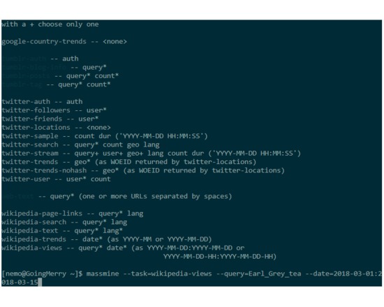
Capture
MassMine is a command line tool designed for researchers to simplify the collection and use of data from online sources such as social media networks. Geared toward novices and power users alike. Designed for use on personal computers or on headless servers. Handles the acquisition of API data while managing rate limits imposed by these services. Makes setting up custom data requests easy, allowing for flexible deployment for individualized research needs. Creates and manages databases of collected data automatically. This means that all tweets, trends, posts, etc. related to your research questions are saved permanently on your local hard drive. Designed for long-running data collection projects. MassMine makes it easy to create your own database of social media content spanning days, months, or years.
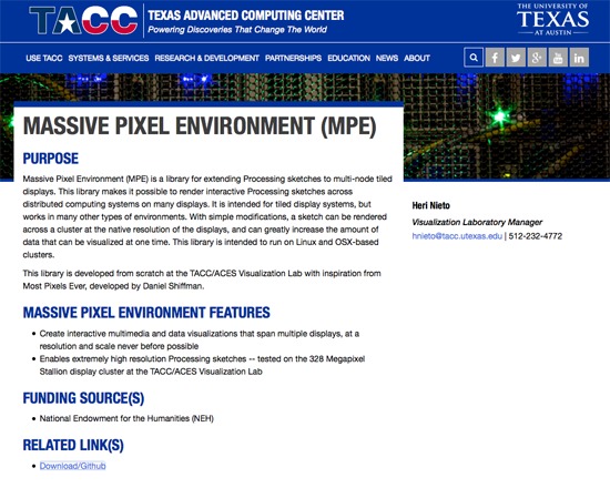
Visualization
Massive Pixel Environment (formerly Most Pixels Ever: Cluster Edition) is a library from the Texas Advanced Computing Center's A Thousand Words Project, inspired by and expanding on the original Most Pixels Ever developed by Daniel Shiffman. It extends Processing sketches to multi-node tile displays, enabling users to display output across multiple systems and displays, at the native resolution of those displays. This allows for a dramatic increase in the amount of data that may be visualized at one time, in comparison to a single-screen display.
Creation
Markdown is a text-to-HTML conversion tool for web writers. Markdown allows you to write using an easy-to-read, easy-to-write plain text format, then convert it to structurally valid XHTML (or HTML).
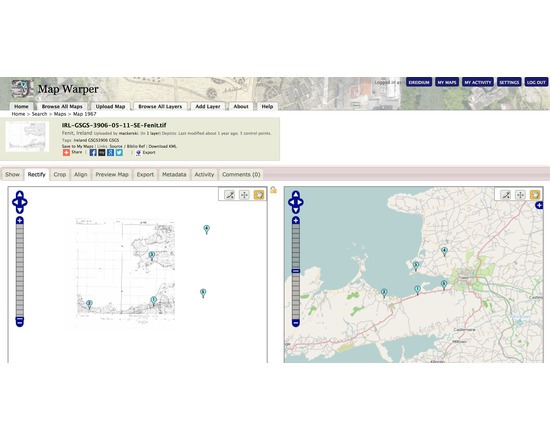
Map Warper is a tool for digitally aligning ("rectifying") historical maps to match today's precise maps. It is used publicly by the NYPL to crowdsource georectification of their own library of digitised historical maps. In the wider version developed by Tim Waters user supplied maps can be georectified for subsequent use in your own mapping projects.
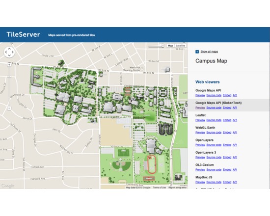
MapTiler allows efficient and fast multi-core paralellized rendering of raster geodata (TIFF/GeoTIFF, MrSID, ECW, JPEG2000, Erdas HFA, NOAA BSB/KAP, Ozi Explorer OZF2/OZFx3, JPEG, GIF, PNG and more…) into map tiles suitable for Google Maps API mashups (OpenStreetMap, Microsoft Bing, MapQuest, MapBox, Google Earth; MBTiles format is supported), native mobile applications (iPhone/iPad/Android) with Apple MapKit, RouteMe or OSMDroid. It automatically produces large seamless maps from several input files (MapTiler Pro) and directly optimizes the produced tiles for minimal filesize which allows extremely fast distribution of maps from any ordinary webserver or from a cloud CDN (Rackspace Cloud Files, Apache, PHP, Linux, DropBox, Google Drive, Amazon S3/CloudFront, Google Cloud Storage). Interaction with the software and tips are available in Youtube tutorials at:https://www.youtube.com/playlist?list=PLGHe6Moaz52PiQd1mO-S9QrCjqSn1v-ay
Visualization
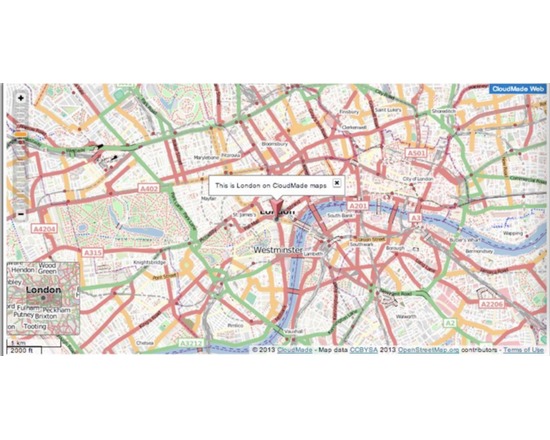
Mapstraction is a Javascript library. It provides developers with a single interface for a wide variety of Javascript map APIs including Leaflet, Google, Bing, OpenLayers and ESRI's ArcGIS. A key benefit is that once a developer has loaded Mapstraction, s/he can to switch from one map API to another quickly and easily - often only needing to change a few lines of code. Mapstraction displays points, lines, polygons and markers on the maps, and also allows developers to add base maps and overlays.
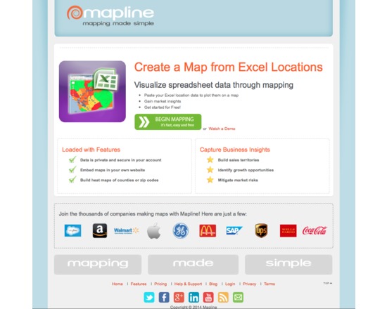
Mapline (previously Topo.ly) is a free and paid online service for capturing and geocoding spatial data from spreadsheets and creating point, territory and heat maps. It is free for limited use (quite generous) and paid when you need to map significant (we are talking substantial) datasets. It's intuitive, easy to use and produces high quality interactive maps. Free service has only minimal map customization options and does not include the visual analysis that is included with the fee options.
Annotating
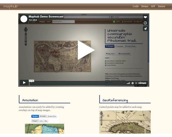
Maphub is a web portal for georeferencing and annotating digitized historic maps. Georeferencing transforms the map image to align with real world geographic coordinates, while the annotations are overlaps plus notes. Maphub suggests possible tags for the annotation based on its text and location; tags link to related Wikipedia articles. Once created, user-contributed annotations are shared via the Maphub Open Annotation API. A first prototype of Maphub, using digitized maps from the Library of Congress’ Map Division, can be found at http://maphub.herokuapp.com/.
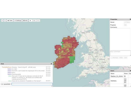
MapCraft is a tool for tracking mapping progress during a mapping party or other coordinated project taking place in a concentrated area. It shows a cake diagram as a bunch of clickable areas, with the ability to take ownership of cake slices, as well as commenting on them, and chatting to eachother about it. It takes the concept of a "cake diagram" and makes it more dynamic. The tool also allows rating the cake slices by progress, which is then shown prominently as different colourisation. This was designed for realtime collaboration on sketching aerial imagery. It was conceived by and for the Russian OpenStreetMap community. It provides a means to self-manage a community, crowdsourced mapping project.