Visualization
ORBIS: Stanford Geospatial Network Model of the Roman World
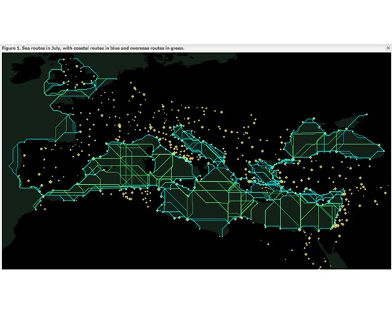
ORBIS: Stanford Geospatial Network Model of the Roman World is a tool and academic resource for reconstructing the time and financial costs of travel in the ancient world. Its model is based on a simplified network of Roman cities, roads, rivers and sea lanes, and takes into account such factors as time of year and method of travel. Users can enter parameters to generate models and interactive maps.